Hurricane Emergency Response and Damage Assessment
Hurricanes can create mass destruction and widespread damage to affected areas. It is critical to the emergency response activities to mobilise people as quick as possible and give them the tools to get on the ground, identify priority areas of damage, record their observations and feed it back to a central location where it can be analysed and resources can be organised and deployed to the areas that require the most attention.
Map showing areas affected by the Hurricane

Several organisations in the affected areas of Hurricane Irma and Hurricane Hervey are using the Mobile Data Anywhere platform. And over the years organisations world wide such as in the recent Cyclone Debbie in Australia, have used the Mobile Data Anywhere platform to quickly and accurately collect data related to the damage caused by the storm, to assist in the initial emergency response, damage assessment and the ongoing relief and clean up effort related to natural disasters.
At the core of the Mobile Data Anywhere platform is the ability to create custom mobile apps to collect data with any iOS and Android device in an offline environment. The mobile app that is developed to perform the assessment can be evolved and iterated on quickly and re-deployed to the people in the field as they are working. The important data that needs to be collected including observations such as the GPS location, photos, description, priority and an assessment of the damage can be added to the app.
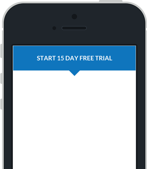
Quick overview of the app

When collecting data photos can be taken of the damage and the images can be annotated by drawing on the screen.

During a natural disaster such as a Hurricane and the resulting floods, the ability to monitor the data in real-time for rapid response and to effectively determine where to deploy and concentrate resources in the field is critical.
By viewing the data on a map, displaying critical information on a dashboard and running exception reports, the impact of the Hurricane can be monitored in real-time. This enables resources to be managed effectively and to make sure that the data that is collected is of high quality.
Once the initial damage assessment has been completed reports can be generated and presented to the organisations and people responsible for managing and deploying resources at a more broader level. This can be done with a very basic excel export of the raw data. Or a simple export of the data to a KML file that can be loaded into any GIS application.
Below is an example of a KML export in Google Earth.
Complex reports can also be created using the Reporting tool, where multiple data sources can be brought together to create complex reports.
Interactive real-time Dashboards can also be created using the Dashboarding tool, where critical information can be brought together into a single view, with the ability to filter and drill down into the details behind the high level summarised figures..
The Mobile Data Anywhere platform can be used to:
- quickly create comprehensive mobile data collection apps to perform emergency response and hurricane damage assessments
- provide real-time up to date analysis of the data that is being collected and fed back into the portal to assist in the effective management of resources
- generate real-time comprehensive dashboarding and reporting to ensure rapid response to the observations being made in the field.
- generate final summary reports in raw Excel or complex custom reports
Create powerful mobile forms for your business in minutes